| Win Base | Win Adv | Win XP | Vista | Windows 7 | Registri | Software | Manuali | Humor | Hardware | Recensioni | Blog | Download | Foto |
| INDICE NEWS | NEWS WEB | NEWS SOFTWARE | SEGNALA NEWS | CERCA NEWS » |
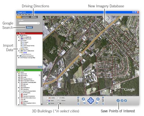
Google Earth 3.0.0762 |

.:: CANALE NEWS
UPDATE WINDOWS .:: RSS
.:: RICERCA
.:: LINKS
.:: IN RILIEVO
.:: ABOUT US
.:: PARTNERSHIP
adv |
|

.:: Ultime
Internet e Messaggistica |
|||||||||||||||||||||||||||||||||||||
|


